Pipestone Pass
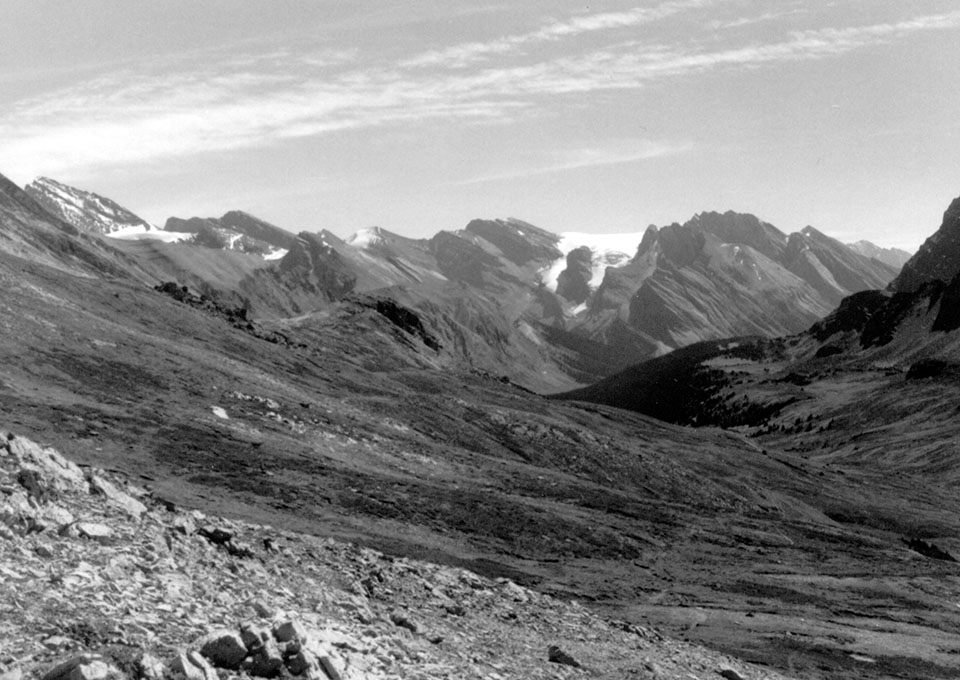
Looking south down the Pipestone River from Pipestone Pass, Banff National Park in 1906 (Vaux family, Whyte Museum Canadian Rockies NA-80-1475) and in 1985. This pass connects the Bow valley to excellent pasturage and hunting grounds on the Kootenay Plains along the North Saskatchewan River. Although it has an elevation over 2500m with a broad area of exposed alpine terrain, it was crossed commonly in the summer and fall by First Nation hunters, then later by early British mapping and hunting groups. In August, 1859, James Hector’s party of the Palliser Expedition crossed the pass, and near camp that night Hector recorded “I found a buffalo track but was not able to follow it in the rocky ground myself, and both the Indians were off hunting sheep.” .
By the 1980s, the Drummond Glacier, visible in the background of the picture had receded dramatically. Due to cool, moist conditions at higher elevations this area burns infrequently, and treelines had advanced upslope over time. This forest development began at the end of the “Little Ice Age” in the early 1800s, but its rate increased as the climate continued to warm at the end of the 1900s.

