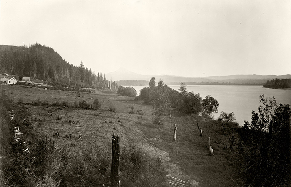
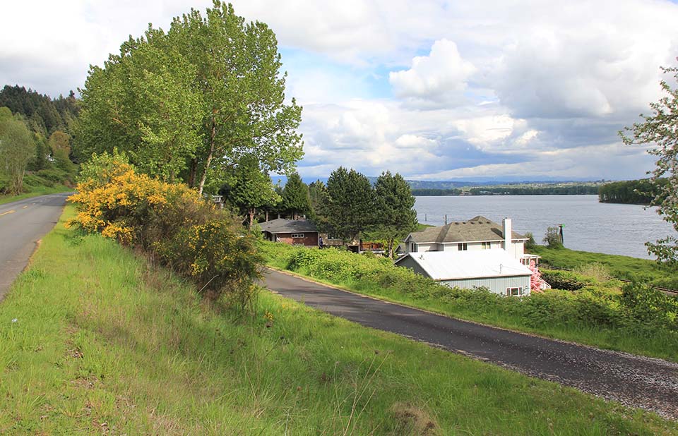
Mt. Hood from the Columbia River near Vancouver, Columbia River in 1867 (Carleton Watkins, Oregon Historical Society, OrHi-Mammoth-417) and in 2014 (CW-2014-04-26-01655). The repeat photograph was moved upslope due to dense vegetation. Mount Hood was obscured by clouds.
1792: Americans then the British on the Columbia River
On August 17, 1775, near latitude of 46° north, Spanish Captain Bruno Hezeta observed the turbulent water and heavy currents which convinced him he might have reached “the mouth of some great river or some passage to another sea.” On Spanish maps this section of coast became the “Entrada de Hezeta”, another potential entrance to a potential northwest passage. However the subsequent mapping expeditions of other Spanish explorers or Captain James Cook provided no further detailed observations on the mouth of the great river entering the Pacific. In 1788 American sea captain and fur-trader Robert Gray believed he saw signs of a large river at the same latitude, but did not approach the coast due to the usual unfavourable weather and sea conditions in the area.
The year 1792 was, for Columbia River First Nations, similar to those on the Salish Sea, highly significant for the fur trade. On April 28, while sailing near the Strait of Juan de Fuca, Gray met and conferred with Captain George Vancouver who had recently arrived from Great Britain. The two captains likely discussed the possible location and significance of the Entrada de Hezeta. Possibly recognizing the political and economic significance of Vancouver’s presence, Gray then sailed south along the west coast, and at 4 am on May 12, 1792, the masthead sighted the Columbia’s mouth into the Pacific. Four hours later, the crew ran “ . . .east-north-east between the breakers, having from five to seven fathoms of water.”
Gray sailed twelve to fifteen miles up river. There he anchored and took on water and painted the sides of his ship the Columbia Redivia. He established a steady trade with the Chinookan-speaking people who visited the ship daily from their village on the north side of the river, a village Gray called “Chinouk.”
This River in my opinion, wou’d be a fine place for to sett up a Factory . . . . during our short stay we collected 150 Otter, 300 Beaver, and twice the Number of other land furs. the river abounds with excellent Salmon, and most other River fish, and the Woods with plenty of Moose and Deer .
Gray’s entering of the Columbia River would eventually help substantiate U.S. territorial claims to the Oregon Country. On May 20, Gray and crew westwards back into the Pacific. They continued trading along the northwest coast then set sail for China.
Five months later, on October 21, 1792, with the great river’s existence now confirmed by Grey’s trip, Captain George Vancouver directed Lieutenant William R. Broughton to take the smaller of his two ships, the Chatham across the bar where he anchored in a sheltered bay on the north side of the Columbia River. Broughton then loaded two smaller boats with provisions and gifts for a week-long expedition. On 30 October, he reached his farthest point up the Columbia, landing in eastern Multnomah County east of Portland and northwest of Mount Hood (see photograph above).
<Previous page Fur-trade Chapter Overview Next page>
Map and Footnotes

