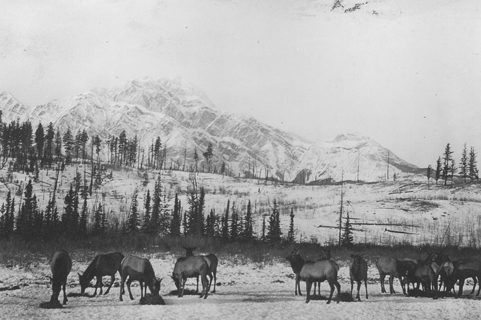
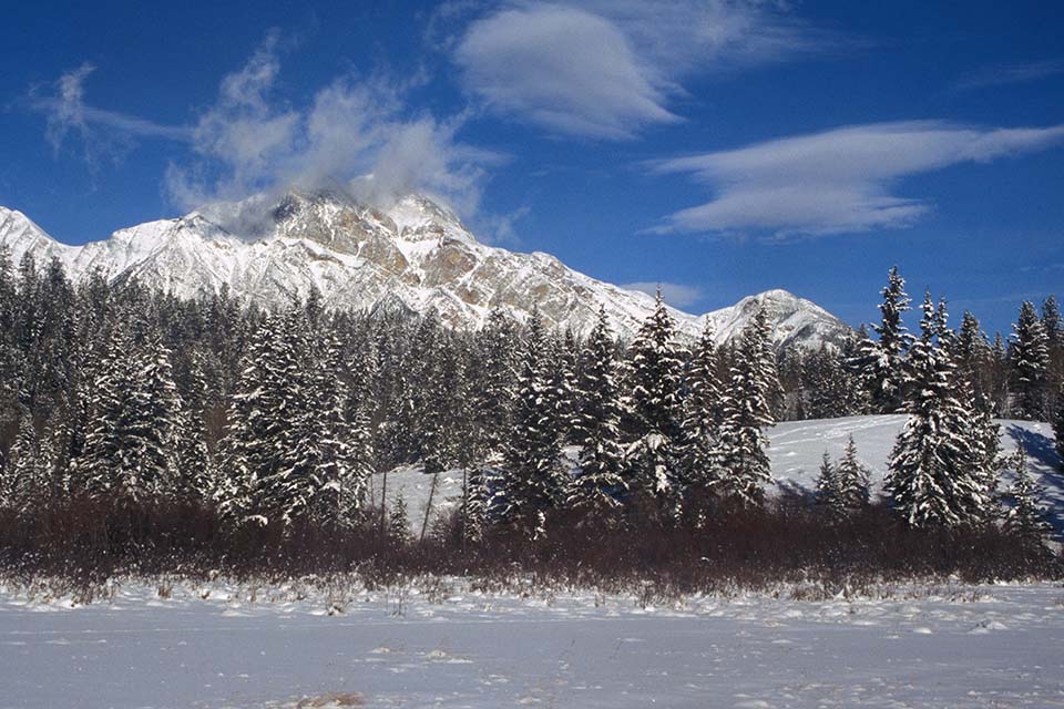
Cottonwood Slough and Pyramid Mountain near the town of Jasper in 1920 (Photographer Unknown, Jasper Yellowhead Museum 84.32.280) and in 2004 (CW 2004-02B-11).
This area lies in a zone of historic frequent fires in the Athabasca Valley. Fire history researcher Gerry Tande mapped the pattern of these burns back to the year 1678.1
Map
- Tande, G. F. “Fire History and Vegetation Pattern of Coniferous Forests in Jasper National Park, Alberta.” Canadian Journal of Botany 57 (1979): 1912–1931. ↩

