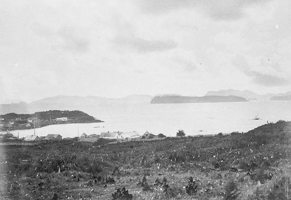
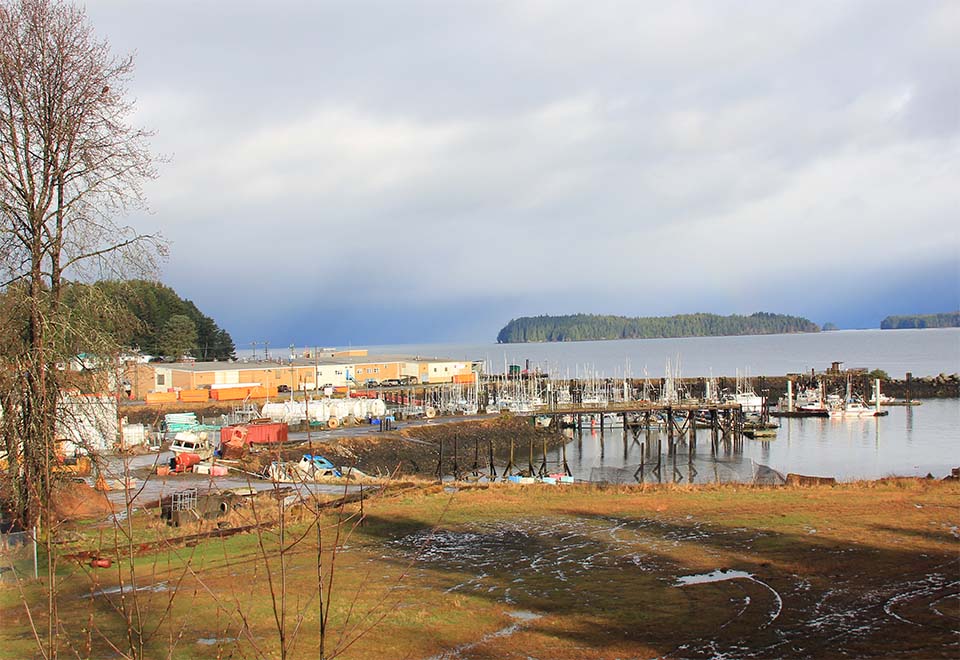
The village of Lax Kw’alaams is located on the northwestern coast of British Columbia, approximately 35km north of Prince Rupert. The point of land on the left of the photograph is part of an island traditionally called “Laxlgu’alaams”, or “Island of the Wild Roses”, an ancient seasonal village of the Tsimshian nation’s Gispaxlo’ots tribe. The Hudson’s Bay Company established the original Fort Simpson in 1831 further east up the Nass River estuary. In 1834 the post was moved to the photographed location (centre of the 1878 view) to provide better trading opportunities with natives living along both the Skeena and Nass rivers, and other peoples such as the Haida that routinely visited the area. The post’s name commemorates Capt. Aemilius Simpson, superintendent of the HBC’s Marine Department. Currently, Lax Kw’alaams is recognized as the home of the “Nine Tribes” of the lower Skeena River (nine of the fourteen tribes of the Tsimshian nation). The tribes are currently represented by the Allied Tsimshian Tribes. 2
Map and Footnotes
- George Dawson’s surveys and photographs are documented by: Cole, D. and B. Lockner. eds. The Journals of George M. Dawson: British Columbia, 1875-1878. 2 vols. Vancouver: University of British Columbia Press, 1989. ↩
- Mackie, R. S. Trading Beyond the Mountains: The British Fur Trade on the Pacific 1793-1843. Vancouver: UBC Press, 1997. See http://laxkwalaams.ca/ for the band’s history and community description/events. ↩

