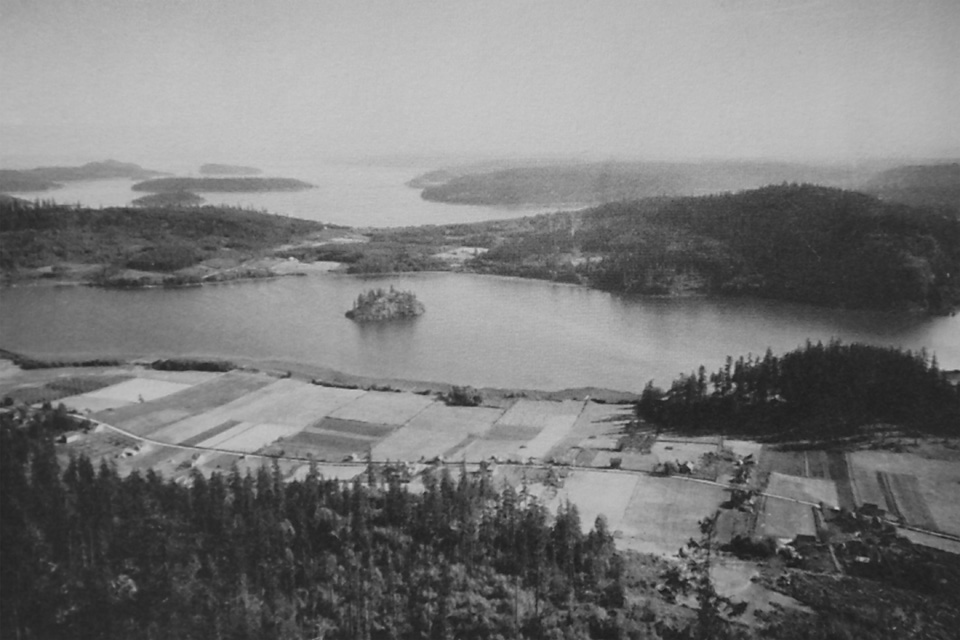
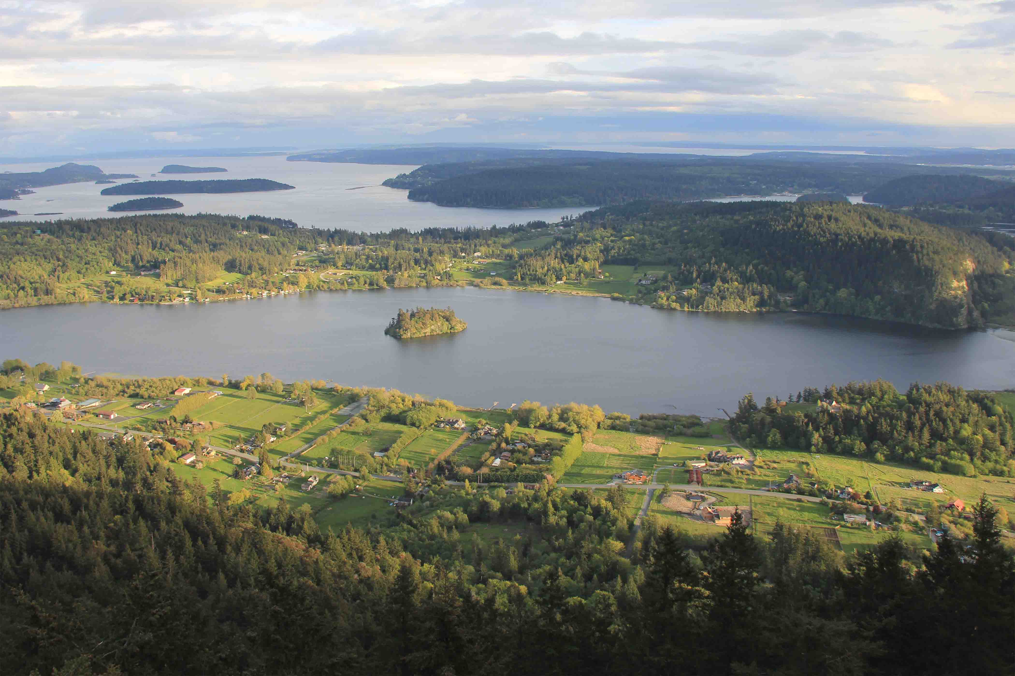
Vancouver Maps Deception Pass and northern Puget Sound
On June 11, 1792, Vancouver moved northwards from Puget Sound, and set up a base of operations on the shore of Birch Bay (near Point Roberts and the Canada/US border). Here, for nearly the next 12 days the Discovery lay at anchor in the bay, and crews in the Chatham and the cutters mapped to the north and west. Vancouver and Puget took a cutter to round Point Grey, visited the year previously by José Narváez. Similar to Narváez, they failed to chart the mouth of the Fraser River, and Vancouver records numerous villages along this section of the coast. They entered Burrard Inlet, mapping their way eastwards several kilometers.
Meanwhile, on June 4, the Spaniards Galiano and Valdes left their base at Nootka with the ships Sutil and Mexicana to continue explorations northwards up the Salish Sea. Their subsequent circumnavigation of Vancouver Island would take nearly four months. 1. On June 22, Captain Vancouver met the Spanish ships near Point Grey as he returned south to Birch Bay after mapping Howe’s and Jervis inlets. It was a momentous rendevous. Vancouver recorded that he “experienced no small degree of mortification” upon viewing the charts Narváez had made a year earlier for much of the Salish Sea. The Spanish had clearly established precedent for any future European claims on these lands. However, the Spanish and British officers agreed to jointly continue mapping northwards up the interior channels, greatly increasing the speed of the work. 2
<Previous page Fur Trade Chapter Overview Next page>
Map and Footnotes

