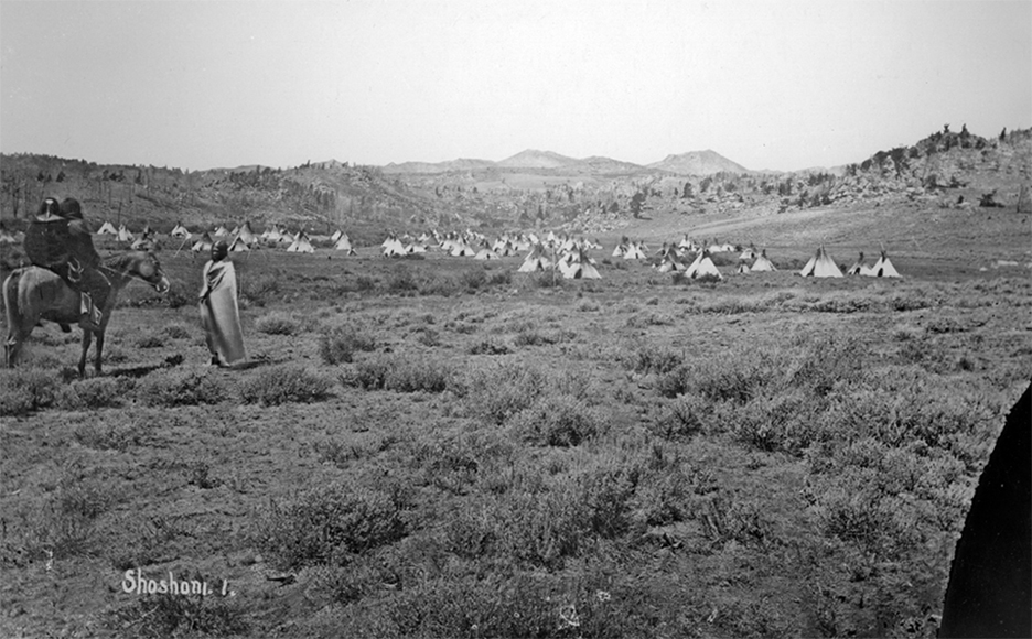
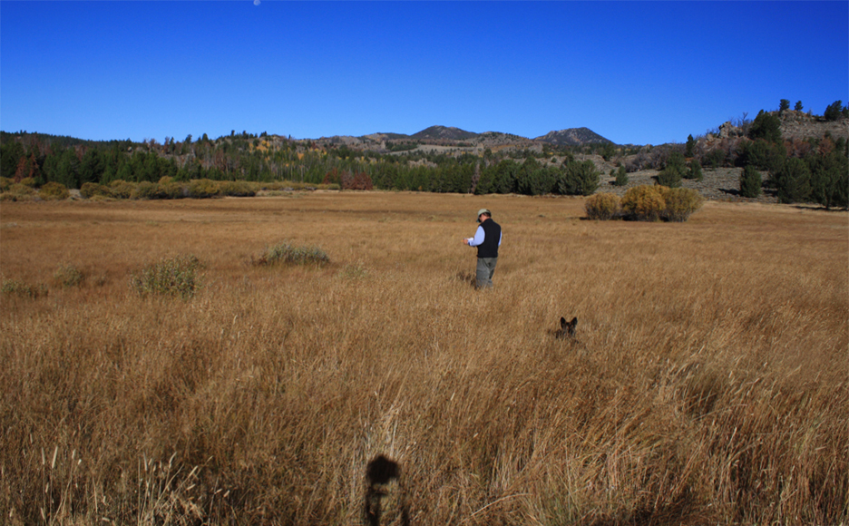
For a quick view of some exceptional repeat photographs click: Northwest Classics
…. and here’s a link to background research related to the photographs.
These days I only take on enough contract work to keep my accountant happy… Email me for a copy the company’s CV.
WEBSITE OVERVIEW
The Pacific Northwest of North America is one of the first regions in the world where the camera caught up with the “Columbian exchange” or the incredible changes that occurred when human activities reached a global scale. In this website I use then and now photographs and historical journal accounts from early travelers to evalulate landscape change resulting from a host of changes including the collapse of Native American populations, industrialization, suppression of forest fires, and most recently, an amazing wave of urbanization as millions of people leave the cities, and move into the countryside. You can browse the website in three different ways:
Classics– A variety of great then and now images, including groups for Native American Views, Trading Posts, and William Henry Jackson photographs.
Map– Simply click on the markers on the map to see then and now images.
Gallery views by region– I post then and now images for each region as they are available. See the top menu;
Themes– To evaluate landscape change, I use the then-now photographs linked to historical accounts as a visual way to describe landscape change through several themes. These are works in progress, but include:
1. Google Earth Map of Journal Wildlife Observations– For my rephotography work, I often use a Google Earth map to plot the routes of early travelers in the northwest, and what wildlife they saw or hunted along the way. Some website visitors may wish to download this Google Earth map to become more familiar with historical conditions along these routes.
2. The Fur Trade– This period has an exceptional literature of historical observations, and provides a good bridge between archaeology, anthropology, and Native American traditional knowledge, and current changing ecological conditions. This theme view follows the fur trade from the 1780s to the 1860s, and changes evident in photographs since that time;
3. Valleys of Bison, Rivers of Salmon– An important part of the Northwest’s long-term ecology was the bison’s annual fall and winter movements towards the foothills for shelter from prairie winters and their encounters with Native Americans sustained by salmon on the western slopes crossing the mountains to obtain pemmican, robes, hides and leather. In the next few years I will explore this theme in more detail. Please click here to download the latest version of the report on this work.
4. Land Use– This theme provides an opportunity to link long-term ecological processes with current issues from community development to park management. I’ll poke away at this as the opportunity arises.
Again, in the next few years I will expand using repeat photographs to work through these themes. I will post images that I have retaken, and those that still need good quality repeat photographs.
So, if you wish to participate, please grab your camera, and look for good light along the footsteps of photographers-past. If you obtain some good quality then/now photographs that tie in to one of my themes, I’d be pleased to post your work.
Cliff White, Canmore, Alberta
cliffawhite@gmail.com

