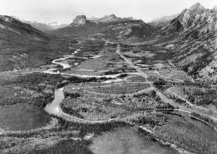
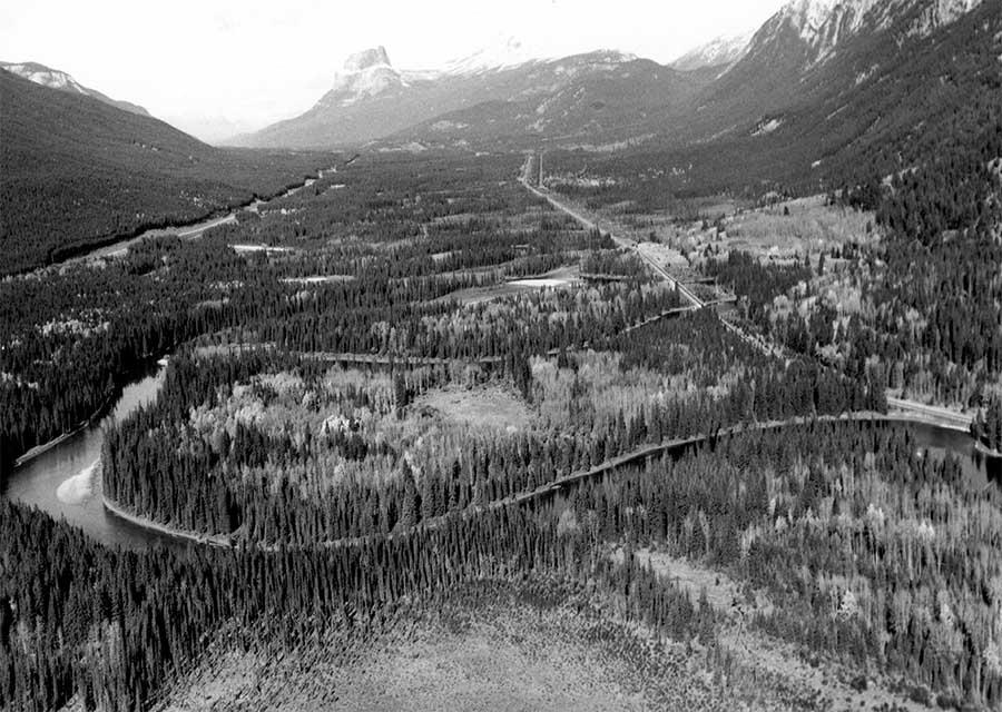
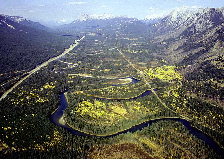
The Bow Valley below the Sawback Range (on right) in Banff National Park in 1921 (NAPL-CA-114-74), in 1986 (CW-P1-14), and in 2003 (CW-2003-10B-05). The 1921 image was made during one of the earliest tests of using series of photographs taken from an airplane to map western Canada’s rugged terrain. Subsequent photos were taken from a helicopter, and were difficult to repeat due to the need of being in the same spot in three dimensions, not just 2 which is common for ground-based images.
Map and Footnotes


