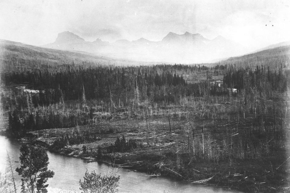
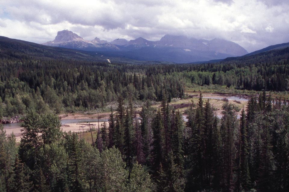
Several mountains overlooking the Great Plains are well known landmarks for the Native Americans who routinely travelled trails often within sight of the Rockies. These peaks are shown on rough, stylized maps that early fur traders such as Peter Fidler transcribed from the knowledge of local inhabitants. One of the most important landmarks, towering over the plains just south of today’s border between United States and Canada, is now called Chief Mountain on Canadian and American government maps. One of its traditional names was “The King”. 1
Map and Footnotes
- Binnema, T. Common and Contested Ground: A Human and Environmental History of the Northwestern Plains. Norman: University of Oklahoma Press, 2001: 146-148; Belyea, B. Dark Storm Moving West. Calgary: University of Calgary Press, 2007. ↩

