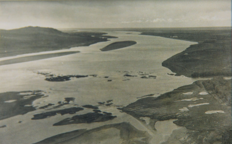
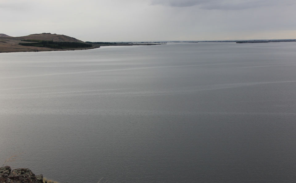
View North from Wallula Gap
View north from Wallula Gap of the Columbia River. The mouth of the Walla Walla River is on the lower right of the photograph, and the Snake River joins the Columbia in the upper right. The Columbia River along this reach is now impounded behind the McNary Dam. The Hudson Bay Company’s Fort Nez Perce lay on the south bank of the Columbia visible in the historic photograph– just to the east of the Walla Walla’s confluence.
I did the re-photograph from the top of the hill above the confluence, but this is too high. A better location lower down the slope can be found by lining up the horizon of the orginal photograph against the hillside on the north. Watch out for rattlesnakes.
Map

