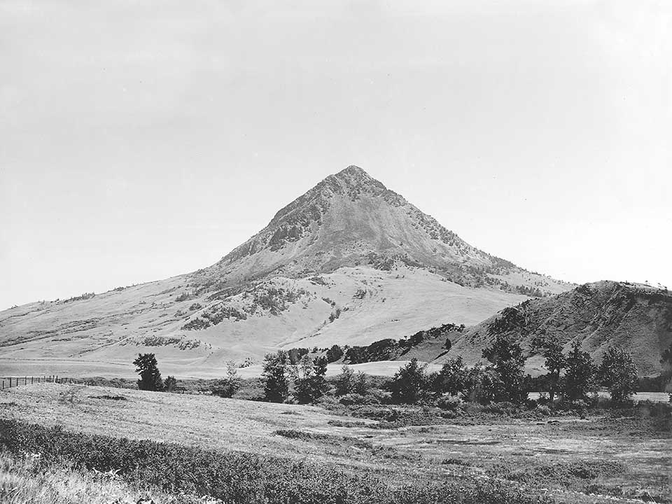
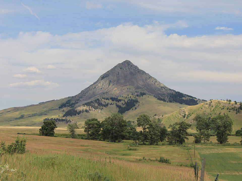
Haystack Butte from Smith Creek Road
Haystack Butte, and eroded ancient neck of a volcano, from the north in 1900 (C. D. Walcott, USGS-wcd00669) and in 2015 (CW-2015-07-21-0083). The butte is one of the most distinctive landforms in the Rocky Mountain foothills west of the Great Falls along the Missouri River. After Captain Lewis crossed the continental divide just south of here on July 7, 1806, they descended the eastern slope of the pass, and proceeded northwards through the foothills before descending today’s Elk Creek to the Sun River. He easily recognized Haystack Butte, which he had seen the year before from the Missouri, and which he called Shishequaw Mountain. For July 8 he recorded: “Set out at 6:00 AM, N25W 31/2 miles to the top of hill from whence we saw the Shishequaw mountain about 8 miles distant… (it) is a high insulated conic mountain standing several miles in advance of the Eastern range of the rocky mountains…”
The rough fescue grasslands in the foothills region would have historically provided excellent year round bison habitat, but it was also high quality habitat for bison’s primary predator—humans. The foothill valleys provided good sheltered campsites, plentiful firewood, good grazing for horses, hunting opportunities for multiple species, and a wide range of plant resources such as roots and berries. As a result of this frequent, and often year round human use, bison occurred here, but were probably not plentiful. Captain Lewis did not see actually see bison until he was well out of the mountains and nearing the Sun River, where he reported “Fields saw two buffaloe below us some distance which are the first we have that we have seen.”

