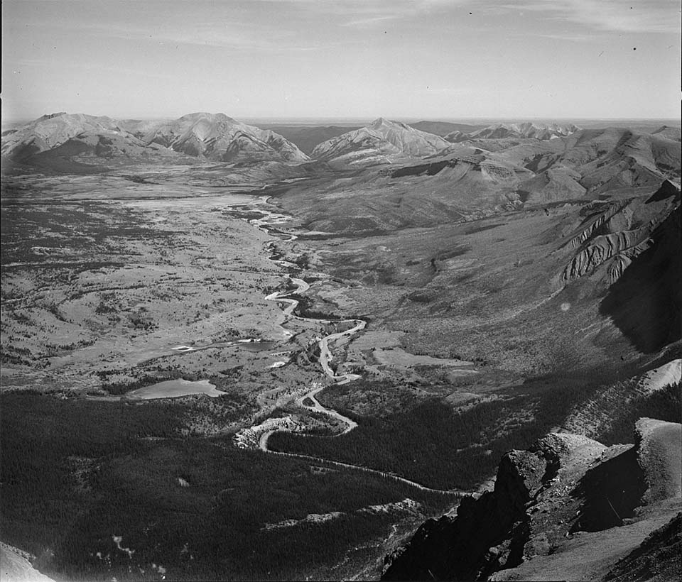
Ya Ha Tinda is the Stoney Nakoda term for “mountain prairie”, an aptly named area of grasslands along the Red Deer River bounded by rocky mountain ridges. This valley has a rich natural and cultural history. Some of the highest densities of historic bison wallows in the Canadian Rockies lie across the grasslands. The meadows appear to have been burned at least every 30 years, possibly by historic peoples trying to lure bison into the mountains from the foothills to the east.1 A major archaeological site at the eastern edge of the grassland (background of the photograph) shows evidence of several thousand years of human bison hunting.2 Further up the Red Deer River lie several small pithouse villages indicating that Salish peoples came across the mountains from the west to harvest bison in this unique environment. 3
Map and Footnotes
- White, C.A., M.C. Feller, and P. Vera. “New Approaches for Testing Fire History Hypotheses.” Proceedings of the International Conference on Science and Management of Protected Areas 4: 398-411, 2002. ↩
- Ronaghan, B.M. “The James Pass Project: Early Holocene Occupation in the Front Ranges of the Rocky Mountains.” Canadian Journal of Archaeology 17 (1993): 85-91 ↩
- Langemann, E. G. “Zooarchaeological Research in Support of a Reintroduction of Bison to Banff National Park Canada.” Conference of the International Council of Archaeolzoology 9 (2002): 79–89. ↩

