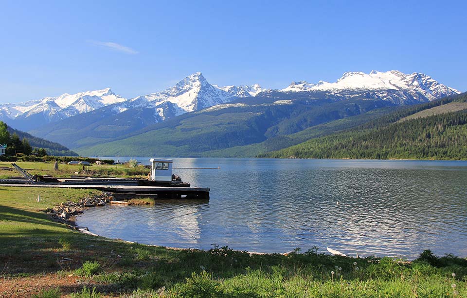
Columbia River at the mouth of Downie Creek, with the Frenchman’s Cap Peak and Trident Peak above Pettapiece Pass (right) 1954 (British Columbia Government, BC Archives I-21406) and in May, 2015 (CW-2015-05-22-3578). The repeat photograph is taken about 200m to the east of the original due to the water level behind the Revelstoke Dam reservoir. It might be possible to replicate this more closely when the water is lower. Folks from BC Hydro: call me if you are planning this some spring.
Map

