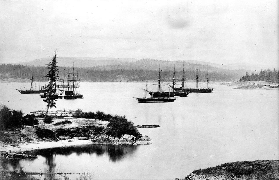
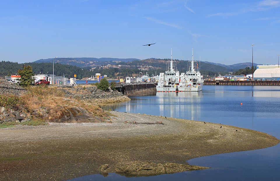
The bay is the longtime territory for the Esquimalt First Nation who still reside along a section of its shoreline. It continued to be an important European naval anchorage. Ships often unloaded passengers and cargo here bound for the nearby Hudson’s Bay Company at Victoria. In 1865, the British Royal Navy made it the headquarters for the Pacific fleet. Esquimalt is now the main western port for the Royal Canadian Navy, and the surrounding community is part of the Greater Victoria municipality. 1
1791: Spain Maps the Straits of Juan de Fuca
Although Spaniard Esteban José Martínez claimed that Spaniards mapped the Straits of Juan de Fuca during the 1774 Juan Pérez trip, credit for for the first European to definitively document its existence it is generally given to Charles Barkley, a British trader captaining the Imperial Eagle. In June, 1787 Barkley entered the straits, and described their existence to John Meares who, the following year, sailed south from Clayoquot Sound. Meares recorded that the strait extended east by north “as far as the eye could see.” 2. In 1791 a Spanish expedition from Nootka, including famed skillful pilot José María Narváez based at an inlet called Puerto de Córdova, now called Esquimalt, charted by Spanish Captain Manuel Quimper the year previously. In mid-June Narváez began mapping the north side of the straits. On June 15, using a longboat, they passed along the southern shore of two islands (Pender and Saturna), and entered “a grand and extended canal” which today is Salish Sea (Gulf of Georgia). The Spanish named it the Canal de Nuestra Señora del Rosario (Canal of Our Lady of the Rosary), and thought that it might be connected to Hudson’s Bay or the Mississippi River. After several more days mapping the channels and islands along the south shore of Vancouer Island they returned to Esquimalt on June 24 3
<Previous page Fur Trade Chapter Overview Next page>
Map and Footnotes
- http://en.wikipedia.org/wiki/Esquimalt,_British_Columbia , accessed January 12, 2014 ↩
- Meares, John. Voyages Made in the Years 1788 and 1789, from China to the North West Coast of America. London: Logographic Press, 1790; Nokes, Richard J. Almost A Hero: The Voyages of John Meares, R.N., to China, Hawaii, and the Northwest Coast. Pullman, WA: WSU Press, 1998 ↩
- McDowell, Jim (1998). José Narváez: The Forgotten Explorer. Spokane, WA: Arthur H. Clark, 1998: 53-54 ↩

